Journals
-
Electronic Journal "Fórum Ambiental da Alta Paulista"
The Fórum Ambiental da Alta Paulista Electronic Journal is dedicated to the dissemination of scientific works originating from empirical, experimental, or conceptual research, resulting from studies at the master's, doctoral, or equivalent levels.
Important: From 2020 onwards, articles will be published in English and Portuguese.
Submissions of articles authored or co-authored by undergraduate or graduate students will not be accepted. All authors must be affiliated with stricto sensu postgraduate programs or, at a minimum, hold a master's degree.
-
National Journal of City Management
ISSN 2318-8472
Primary Area - Qualis Capes 2017-2020
- Architecture, Urbanism, and Design
We are pleased to inform you that the National Journal of City Management has achieved a Qualis A3 classification, as per the results released on 12/29/2022.
The National Journal of City Management aims to disseminate scientific works originating from empirical, experimental, or conceptual research, resulting from master's, doctoral, or equivalent studies.
Important: Starting in 2020, articles will be published in both English and Portuguese.
Submissions of articles authored or co-authored by undergraduate or postgraduate students will not be accepted. All authors must be affiliated with stricto sensu graduate programs or hold at least a master's degree.
-
Technical and Scientific Journal Green Cities
The Technical and Scientific Journal Cidades Verdes is dedicated to the dissemination of scientific works resulting from empirical, experimental, or conceptual research.
For submission, authors must be enrolled in at least an undergraduate program and must publish together with a faculty member from the educational institution.
-
Revista Científica ANAP Brasil
A Revista Científica "ANAP Brasil" está direcionada para a divulgação de trabalhos científicos sobre a temática, resultado de pesquisa de natureza empírica, experimental ou conceitual, resultantes de pesquisas.
Para submissão, os autores deverão estar ligados no mínimo a uma graduação e deverão publicar com um docente da instituição de ensino.
-
Revista Latino-americana de Ambiente Construído & Sustentabilidade
"Revista Latino-Americana de Ambiente Construído & Sustentabilidade" tem como objetivo divulgar trabalhos científicos, resultado de pesquisas empíricas, experimentais ou conceituais, resultantes de pesquisas.
Atenção - Os artigos são publicados em espanhol e/ou português.
Alunos de graduação podem publicar, desde que em autoria ou coautoria de professor mestre ou doutor da instituição de ensino.
-
Revista de Tecnologia & Gestão Sustentável está direcionada para a divulgação de trabalhos científicos, resultado de pesquisa de natureza empírica, experimental ou conceitual, resultantes de pesquisas de mestrado, de doutorado ou de densidade similar.
Foco da revista - Tecnologia, Gestão e Meio Ambiente
-
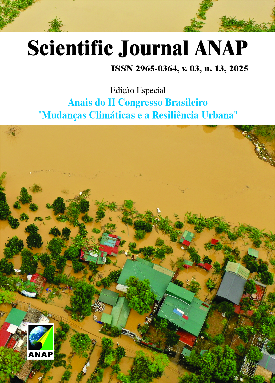
Scientific Journal ANAP
A Scientific Journal ANAP está direcionado para a divulgação de trabalhos científicos sobre a temática, resultado de pesquisa de natureza empírica, experimental ou conceitual, resultantes de pesquisas.
Para submissão, os autores deverão estar ligados no mínimo a uma graduação e deverão publicar com um docente da instituição de ensino.
Foco da revista - "Sociedade, Ambiente e Sustentabilidade"


